How do you get to Hartmannswillerkopf?
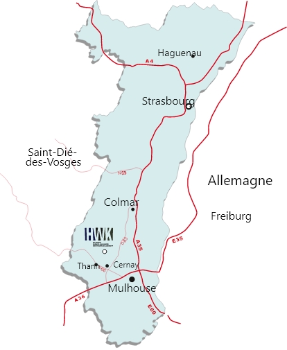
Geographical location of Hartmannswillerkopf
By road
Route des Crêtes – from Uffholtz, take D431 Col du Silberloch - from Willer-sur-Thur/Goldbach, take Col Amic D13 - from Markstein/Grand Ballon, take Col Amic D13.
Road access is closed from mid-November to April yearly.
The site is also accessible with the "Navette des Crêtes" bus system during the summer period:
https://www.parc-ballons-vosges.fr/navette-des-cretes/
GPS coordinates
Latitude: 47.857774 | Longitude: 7.148905
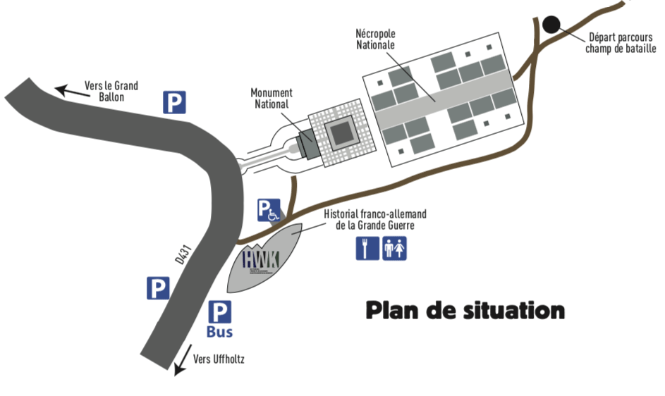
On-site facilities:
- Guided tours
- Gift-bookshop
- Free parking
- Coach parking
- Refreshments
- Toilets (free for visitors of the Historial and for patrons of the gift-bookshop)